Geoblock Path Trail (USFS TMF1)
2D drawing · DWG · 967 KB
Need another format? Open it in the viewer and use Export.
Description
Geoblock Path Trail. Standard drawing TMF1 from the USDA Forest Service Engineering AutoCAD Drawing Library, Recreation section (1993, Region White River NF, R2). A US federal government work, in the public domain in the US. Forest Service drawings were developed as guidance for its own projects and may not meet current standards: check dimensions, codes and site conditions before use.
File: usfs-tmf1-geoblock-path-trail.dwg · added 2026-09-24 · available until 2031-09-24. Added from USDA Forest Service Engineering Drawing Library under its public-domain status; see the library terms. Think this part infringes someone’s rights? Use Report on the viewer page or see our copyright policy.
More like this
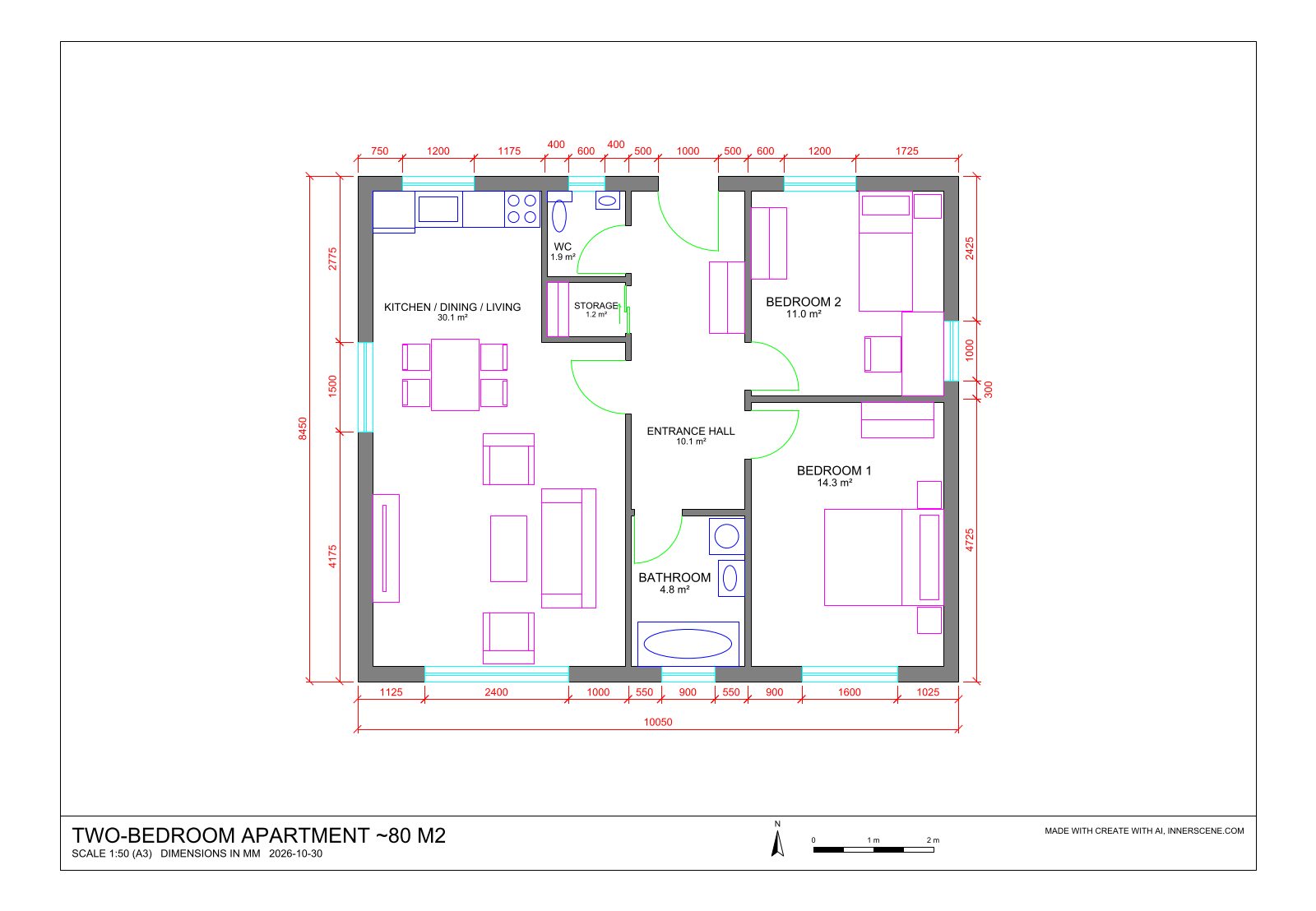
Create a DWG file with AI
Describe what you need, or add a photo, and AI builds it at real size in the viewer. Ask for changes in the chat, then export it. Free, with your own Anthropic or OpenAI key.
Open the AI Generator