Map of Saint Helena
2D drawing · CMX · 41 KB · by j4p4n
Need another format? Open it in the viewer and use Export.
As the source states it: Converted by Innerscene from the CC0 Openclipart SVG to a Corel Presentation Exchange 2.0 file (32-bit CMX; curves with fills, fountain fills and outlines)..
Source: Openclipart
Description
A map of the island of Saint Helena in the South Atlantic with its coastline, Jamestown, Longwood and a km and mile scale bar. Corel Presentation Exchange (CMX) drawing.
File: map-of-saint-helena.cmx · added 2026-10-26 · available until 2031-10-26. Added from Openclipart under its CC0 dedication; see the library terms. Think this part infringes someone’s rights? Use Report on the viewer page or see our copyright policy.
More like this
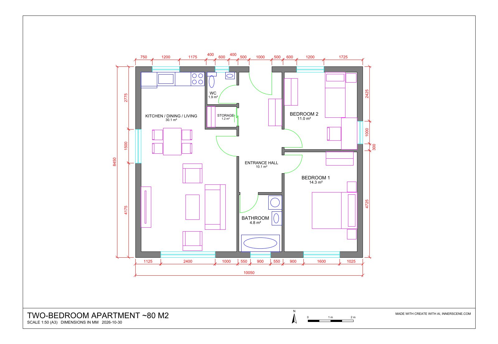
Create a model with AI
Describe what you need, or add a photo, and AI builds it at real size in the viewer. Ask for changes in the chat, then export it. Free, with your own Anthropic or OpenAI key.
Open the AI Generator